|
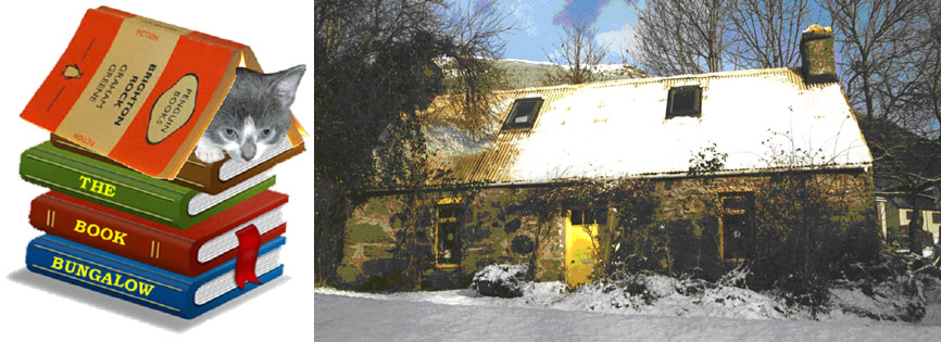
The Book Bungalow |
Astronomy
Natural History
Physics
Mathematics
Philosophy
Collectable Fiction
And Much More |
Browse our stock through these links. For freshest titles go to last page and browse backwards. If you see a book you like, call or email us!
|
Author:
|
Enrico Fermi
|
|
Title:
|
Nuclear physics: A course given by Enrico Fermi at the University of Chicago (University of Chicago publications in the physical sciences series)
|
|
Description:
|
Book is Very Good Hardcover binding, Revised ed,
University of Chicago P;Cambridge U.P, 1963. 1963 10th impression of 1950 2nd revised edition. Ex-library from university with usual labels. Brown cloth toughened library binding, pocket at rear has folding chart of nuclides. Text typewriter font with hand drawn equns, illus. Nice paper and a nice physics relic. 248pp. - Sent from Scotland by Royal Mail, all international orders by PRIORITY AIR-MAIL. all books carefully packed.
|
|
Please
quote our
book No:
|
L8314
|
Price:
£ 19.95
|
ask about
this book
|
|
|
Author:
|
Peter Vaughan
|
|
Title:
|
Systematic Electronics
|
|
Description:
|
Book is Very Good Paperback binding,
Hodder Arnold H&S, 1987. tidy clean bright ex-library paperback - Sent from Scotland by Royal Mail, all international orders by PRIORITY AIR-MAIL. all books carefully packed.
ISBN: 0713176156
|
|
Please
quote our
book No:
|
L8317
|
Price:
£ 0.01
|
ask about
this book
|
|
|
Author:
|
A. Ross
|
|
Title:
|
Kent Electronics Project: Tchrs'
|
|
Description:
|
Book is Very Good Paperback binding,
Oliver & Boyd, 1988. tidy clean ex-library paperback - Sent from Scotland by Royal Mail, all international orders by PRIORITY AIR-MAIL. all books carefully packed.
ISBN: 0050042858
|
|
Please
quote our
book No:
|
L8319
|
Price:
£ 2.95
|
ask about
this book
|
|
|
Author:
|
Tom Duncan
|
|
Title:
|
Physics for Today and Tomorrow
|
|
Description:
|
Book is Very Good Paperback binding,
John Murray, 1978. tidy clean ex-library paperback - Sent from Scotland by Royal Mail, all international orders by PRIORITY AIR-MAIL. all books carefully packed.
ISBN: 0719533805
|
|
Please
quote our
book No:
|
L8326
|
Price:
£ 0.01
|
ask about
this book
|
|
|
Author:
|
Alan Hedley
|
|
Title:
|
Electronics: An Introduction
|
|
Description:
|
Book is Very Good Paperback binding, New Edition,
Thomas Nelson & Sons Ltd, 2004. tidy clean paperback - Sent from Scotland by Royal Mail, all international orders by PRIORITY AIR-MAIL. all books carefully packed.
ISBN: 0174443242
|
|
Please
quote our
book No:
|
L8327
|
Price:
£ 0.01
|
ask about
this book
|
|
|
Author:
|
F.K. Richtmyer
|
|
Title:
|
INTRODUCTION TO MODERN PHYSICS
|
|
Description:
|
Book is Very Good Hardcover binding, 5th ed,
McGraw-Hill Book Company, 1955. McGraw-Hill 1955 tidy clean hardback, name on fly - Sent from Scotland by Royal Mail, all international orders by PRIORITY AIR-MAIL. all books carefully packed.
|
|
Please
quote our
book No:
|
L8329
|
Price:
£ 9.95
|
ask about
this book
|
|
|
Author:
|
Dinah L. Moche
|
|
Title:
|
Astronomy (Self-teaching Guides)
|
|
Description:
|
Book is Very Good Hardcover binding, 2nd Revised edition,
John Wiley & Sons Inc, 1981. tight clean ex-library hardback, strong laminated boards - Sent from Scotland by Royal Mail, all international orders by PRIORITY AIR-MAIL. all books carefully packed.
ISBN: 0471097136
|
|
Please
quote our
book No:
|
L8330
|
Price:
£ 9.95
|
ask about
this book
|
|
|
Author:
|
Sir William. Dampier
|
|
Title:
|
A HISTORY OF SCIENCE: AND ITS RELATIONS WITH PHILOSOPHY AND RELIGION.
|
|
Description:
|
Book is Very Good Hardcover binding, 3d ed., rev. and enlarged,
Cambridge, 1946. Cambridge 1946 reprint of 1942 ed. tidy large hardback, minor marks on boards - Sent from Scotland by Royal Mail, all international orders by PRIORITY AIR-MAIL. all books carefully packed.
|
|
Please
quote our
book No:
|
L8331
|
Price:
£ 9.95
|
ask about
this book
|
|
|
Author:
|
Allen L. King
|
|
Title:
|
Thermophysics (Books in Physics)
|
|
Description:
|
Book is Very Good Hardcover binding, 1st edition.,
W.H.Freeman & Co Ltd, 1962. tight clean ex-library hardback - Sent from Scotland by Royal Mail, all international orders by PRIORITY AIR-MAIL. all books carefully packed.
ISBN: 0716703033
|
|
Please
quote our
book No:
|
L8333
|
Price:
£ 8.95
|
ask about
this book
|
|
|
Author:
|
G. W. C Kaye
|
|
Title:
|
Tables Of Physical And Chemical Constants And Some Mathematical Functions,
|
|
Description:
|
Book is Good Hardcover binding, 9th ed,
Longmans, 1941. 9th edition hardback, rubbing to cover and edges, text block very good and clean - Sent from Scotland by Royal Mail, all international orders by PRIORITY AIR-MAIL. all books carefully packed.
|
|
Please
quote our
book No:
|
L8334
|
Price:
£ 3.50
|
ask about
this book
|
|
Telephone us...

Within UK:
01567 830352
Please be sure to mention the Title, our Book No., and your
country so we can provide you with the correct shipping cost to your location.
We are happy to take your call between 9am and
9pm.
There is no answer machine, you get a real person!
Outside UK:
(+44) 1567 830352
(remember the time difference!)
How to buy a book from us...
Terms: Checks in both British pounds and US$ welcomed, we also take PayPal. Please contact us if you have any questions regarding your payment options, there's always something that we can make to work.
Postage/Shipping info...
Shipping: All books shipped immediately upon receipt of payment. Everything professionally packed with bubblewrap/stiffeners and hard boxes for extra protection where appropriate. International shipping our speciality, heavy tomes no object - give us a chance to surprise you with our cheap rates. UK postage should not exceed £2.80 unless very heavy, a 1-kilo book to the US/Canada will cost $8 US/ $9 CDN PRIORITY AIRMAIL.
Your money back guarantee...
We want you to be pleased with the things you buy from the Book Bungalow. We guarantee that, if for any reason you are not satisfied, you can simply send the item back for a full refund. Please pack books carefully with enough padding if returning them.
Jamie Shepherd
The Book Bungalow
Easter Auchraw Cottage
Lochearnhead
FK19 8PU
Scotland
| Welcome to the....

Book Bungalow |
Home
Site last updated 11-06-2012 19:15:07 |
This page was composed by Jamie Shepherd with BookWriter Web |